Castle Rocks and Milk Ranch Peak:

 Sapling with redwoods:
  Snow falls off higher branches:
I'm in this photo to demonstrate just how big those icicles are: Tunnel Log:

 Giant Forest Musuem is closed:
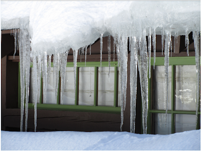
 Ice hanging from the musuem windows:

 Tunnel Log: Giant Forest Musuem is closed:
  Ice hanging from the musuem windows:

Looking back toward the Central Valley:

 General's Highway, after being plowed out yet again. Last I read, this was the Sierra Nevada's 2nd or 3rd snowiest winter on record.
 The high that day was 42 degrees, but you wouldn't know from looking at this creek:
 Snow crushes the bridge outside of Lodgepole parking lot:
 The railing is about three and a half feet high. I walked over it anyway. There was no actual danger of falling into the water, because the snow engulfed my legs before I could begin to slip anywhere.
  Moro Rock:

General's Highway, after being plowed out yet again. Last I read, this was the Sierra Nevada's 2nd or 3rd snowiest winter on record.The high that day was 42 degrees, but you wouldn't know from looking at this creek: Snow crushes the bridge outside of Lodgepole parking lot: The railing is about three and a half feet high. I walked over it anyway. There was no actual danger of falling into the water, because the snow engulfed my legs before I could begin to slip anywhere. Moro Rock: 


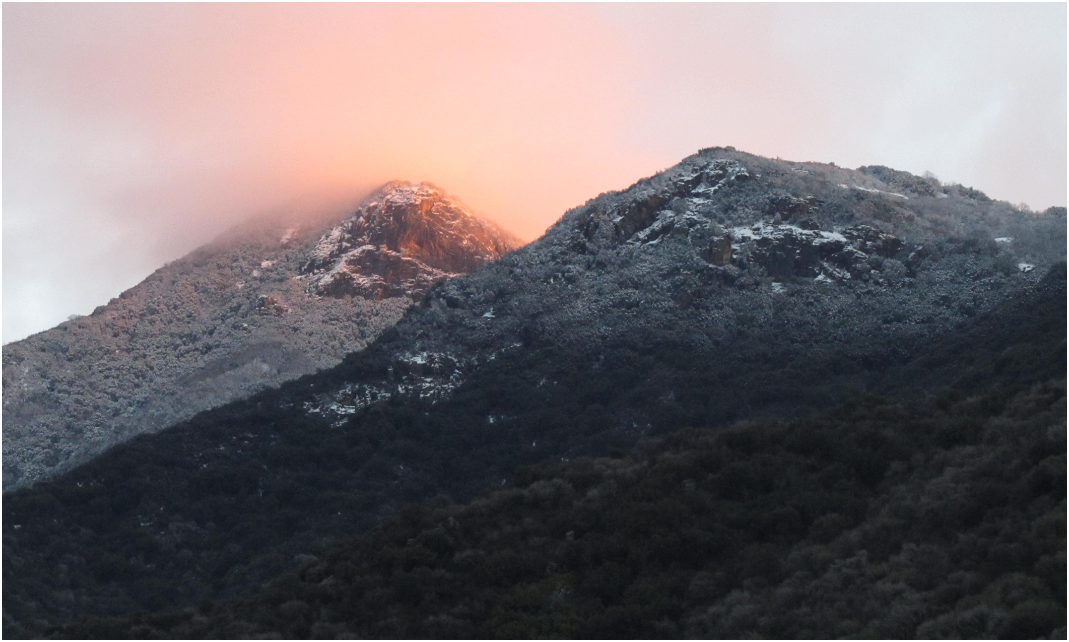




 It was 'partially cloudly' that day: