Sunday, April 3, 2011

White Hills

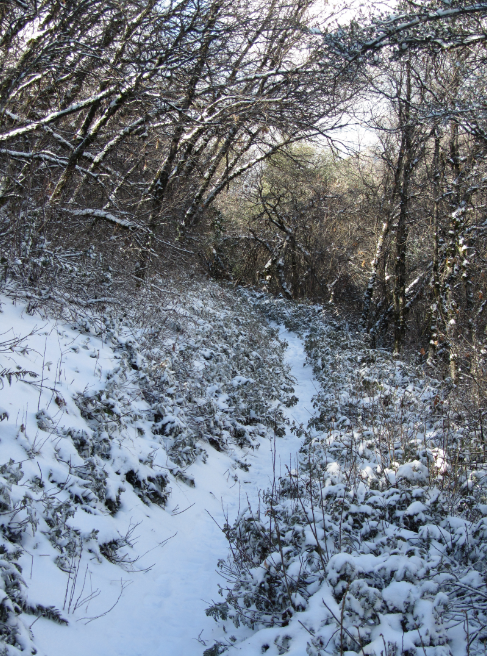
Snow in the Sierra foothills is uncommon and short lived. After Christmas, an unusual storm dropped the snowline under 3,000 feet. These photos were taken December 31st 2010, along Putnam Canyon trail.


Looking down toward Three Rivers and the rest of Tulare County:It was 'partially cloudly' that day:


The road taken:
Homer's Brow, a rocky dome above Putnam Canyon and the Kaweah River:
It took alot of rain to make the sky that shade of blue:
Homer's Nose (left) and the Brow:

Saturday, April 2, 2011

Last Roll

These were among the last photos taken by the old film camera. I should have switched to digital earlier, but was lazy. From Tokopah Falls Trail, December 11th 2010:

This icicle was taller than me:

My friend looked at this and said, "That's a DVD cover."
Most pictures from this trip came out black and white, despite it being a color camera:

Alta Peak in early October:


Castle Rocks and Milk Ranch Peak:
View from Moro Rock Summit:
Nearing the end of Alta Trail, October 9th 2010:

Yosemite

These picture were taken in Yosemite Valley, on October 28th 2010.

Bridaveil Falls:

Yosemite Falls:
Approaching Sentinel Dome:
View of the Sierra from Sentinel Dome:
El Capitan:
Half Dome:

Sunday, March 27, 2011

Mineral King

These photos are from the Mineral King region of Sequoia National Park. All were taken from the Sawtooth-Monarch Trail, on September 13th 2010. Trail begins:

Empire Mountain:

Lower Monarch Lake, seen from the climb up Sawtooth Pass:

Upper Monarch Lake:

Sawtooth Pass:

Columbine Lake:
Sawtooth Peak:

Larger view of Sawtooth Peak:

I lost the trail partway up the pass. There wasn't time for me to reach the summit. In early October, I tried again, but unexpected rain made the rocks far too slippery.


From 10-2-2010:


Mitchell Peak

The below photos are of Mitchell Peak Summit, Elevation 10,365', on May 27th 2010. This mountain can be accessed in a day hike, and offers a great view of California's Sierra Nevada mountains.